Venus combines SAR data, optical satellite imagery, and UAV photogrammetry to automatically analyze site conditions purpose-built for the industry needs.
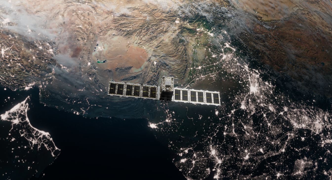
Venus is an automated area monitoring platform that leverages multiple data sources SAR (Synthetic Aperture Radar), optical satellite imagery, and UAV photogrammetry to provide comprehensive site analysis.
Built specifically for the mining industry, Venus helps operators detect changes, monitor compliance, and make data-driven decisions without manual field surveys.
Automatically detect unauthorized land use and encroachment on mining concessions with satellite-based monitoring.
Monitor ground deformation and subsidence using SAR data to ensure site safety and regulatory compliance.
Rapidly identify and respond to oil spills and environmental contamination using multi-spectral satellite imagery.
Automated forest inventory and vegetation monitoring to support environmental compliance and reforestation efforts.
Cloud-independent monitoring using Synthetic Aperture Radar for all-weather, day-and-night observation capabilities.
High-resolution drone-based mapping for detailed site analysis and volumetric calculations.
All-weather radar imaging for continuous monitoring regardless of cloud cover or time of day.
High-resolution satellite photos for visual inspection and change detection analysis.
Drone-based aerial mapping for detailed, high-accuracy site documentation.
Talk to our team about implementing Venus for your mining operations.