Loading 3D Model...
We help organizations across Indonesia harness modern geospatial technology from marine, land, and aerial surveying to satellite monitoring, powered by our proprietary digital platforms.
Founded by a team of experienced professionals from the surveying and geospatial industry, PT Alsentra Prima Geosystems delivers modern solutions that combine technological excellence, operational reliability, and long-term strategic value.
We are more than a supplier of tools. We help shape our clients' decision-making through data that is precise and dependable.
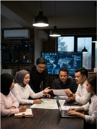
Innovative solutions tailored to your business needs across four specialized fields.
Hydrographic surveys, bathymetric mapping, and coastal monitoring for ports and offshore operations.
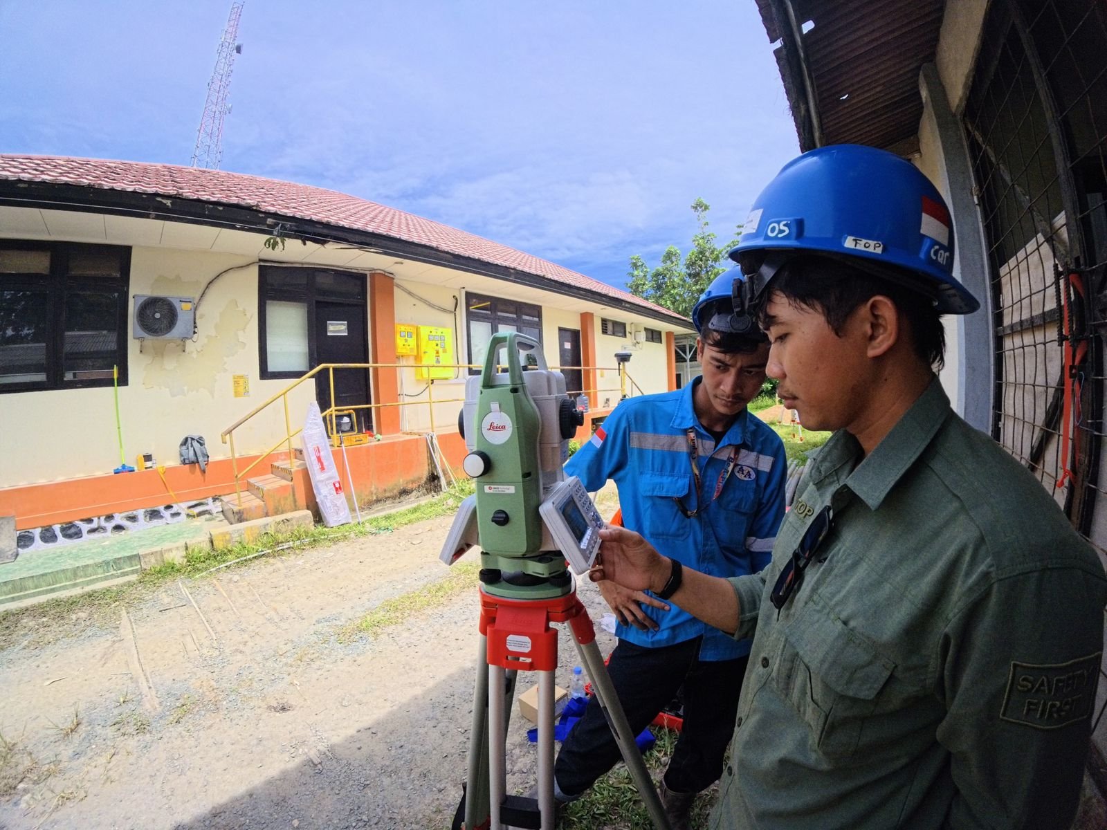
High-accuracy surveying, topographic mapping, and engineering support for construction and mining.
Fast, scalable drone mapping, aerial LiDAR, and high-resolution imaging for large-area capture.
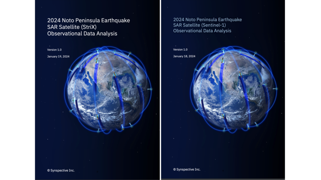
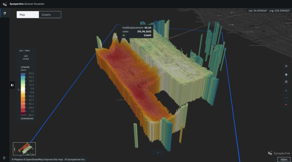
Continuous, wide-area monitoring and cloud-independent observation for ground deformation.
Beyond field services, we build software that turns spatial data into faster, more confident business decisions.
Digital Twin as a Service (DTaaS). Upload your point cloud data, brief our engineers, and receive a ready-to-use digital twin deliverable. No specialist software required.
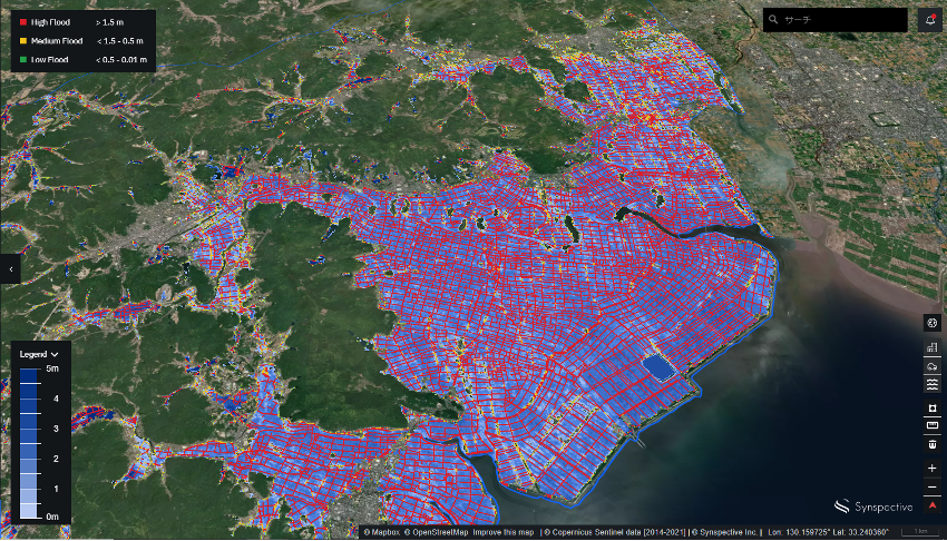
Automated Area Monitoring. Combines SAR data, optical satellite imagery, and UAV photogrammetry to automatically analyze site conditions.
Talk to our team about your survey, mapping, or Storm and Venus implementation needs.
Plaza Bisnis Kemang, Jl. Kemang Raya No.2,
South Jakarta, Indonesia
Fill out this form and we'll get back to you shortly.