We set out to become a strategic partner in delivering high-precision geosystem solutions whether through survey equipment, mapping services, or spatial data-based monitoring technology.
Alsentra is more than a supplier of tools. We help shape our clients' decision-making through data that is precise and dependable, backed by a team with deep roots in the surveying and geospatial industry.
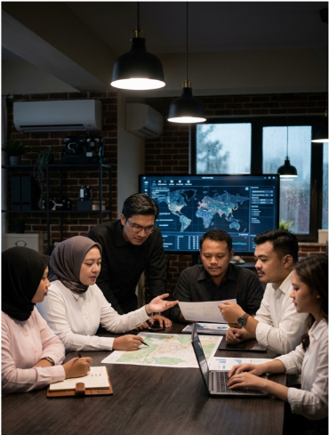
Every dataset and recommendation we deliver is grounded in honesty and professional accountability.
We continue to build our own geospatial technology including Storm and Venus to meet the evolving needs of the industry.
Precision is the standard we hold ourselves to across every domain: marine, land, aerial, and satellite.
Marine, Land, Aerial, and Satellite survey and spatial monitoring solutions for ports, construction, mining, and infrastructure.
View ServicesStorm for Digital Twin as a Service, and Venus for automated mining site monitoring powered by SAR, satellite imagery, and UAV photogrammetry.
View PlatformsOur team is ready to discuss your survey, mapping, or digital platform implementation needs.
Get in Touch